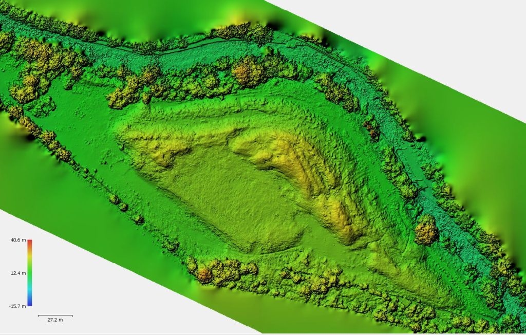
Aerial Survey
Aerial Survey Site in West London The brief: To produce a 3d ground terrain model of the site to enable future volume calculations. The site was in an interesting location, close to the M4, a railway line and a river. Methodology: Our in-house drone/uav was to be used to map the site using photogrammetry, this […]

