2d Measured Building Surveys
With photogrammetry and aerial photography
Fortunately we’ve been able to keep busy during the lockdown with a couple of measured building surveys, fortunately all of the buildings have been vacant enabling minimal social contact.
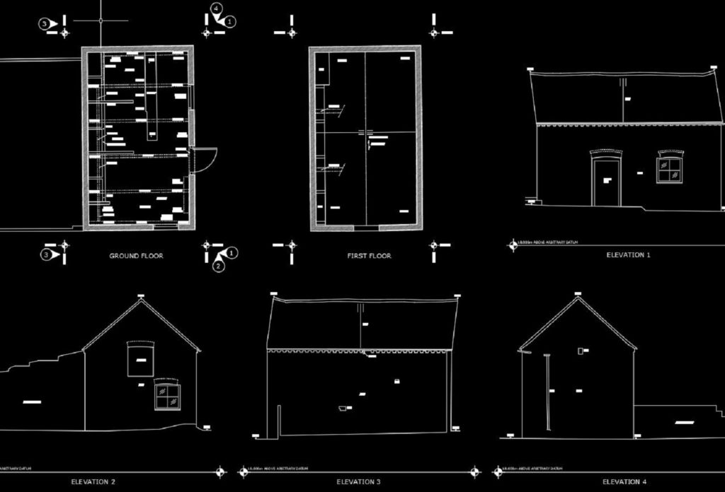
Both of these projects consisted of floor plans, elevations, small topo survey and some sections. These were carried out using traditional techniques (electronic theodolite, distos etc), processed in N4CE and plotted direct into Autocad.
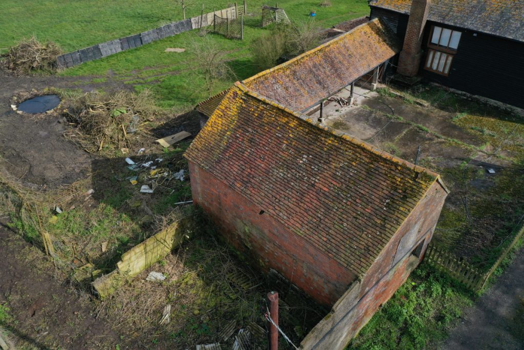
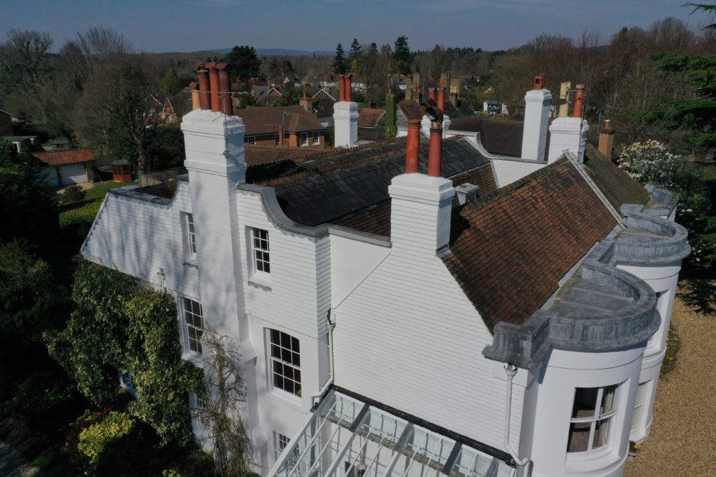
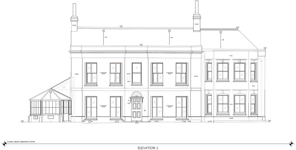
However a technique I have now been using quite a lot is to use photogrammetry for the elevations but also to help with sections and to create an amazing 3D view of how the buildings are formed. This technique involves ground based photography, mast photography and for the high parts aerial photography using a drone. Control points are also taken to enable accurate 3D models. Rectified imagery was created from the meshed model to use for the elevations, in my opinion this is an improved process compared with using just traditional methods or using laser scanning.
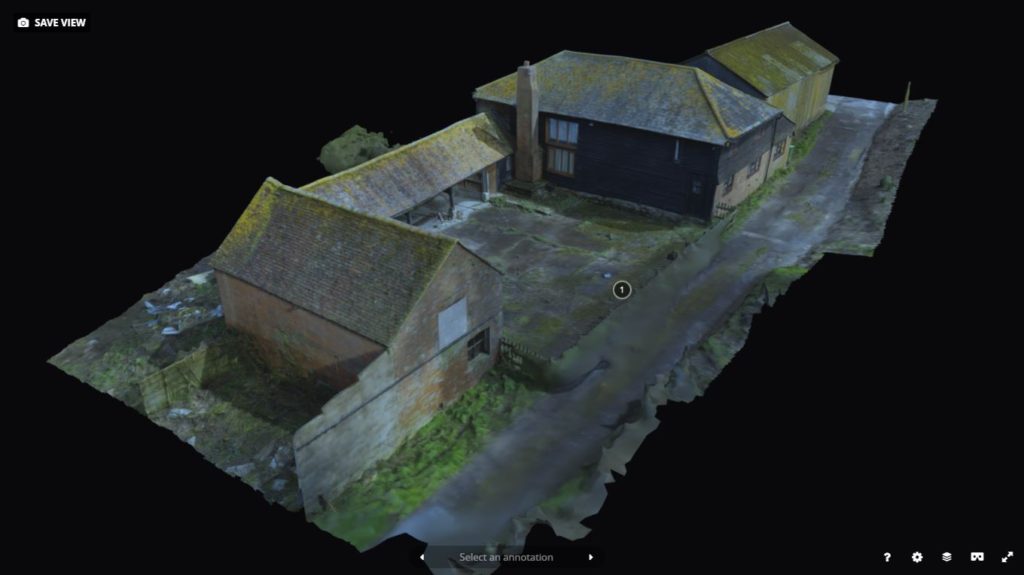
You can view the above 3d model on sketchfab, if you have VR goggles then this model is compatible – please bear in mind that this model has been decimated to keep the file size manageable to view online.
View the model here >> (opens in a new tab)
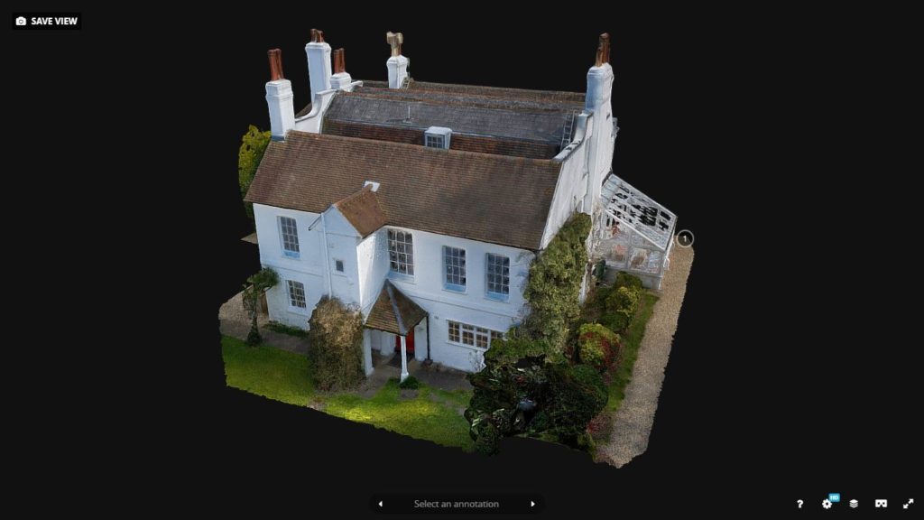
You can view the above 3d model on sketchfab, if you have VR goggles then this model is compatible – please bear in mind that this model has been decimated to keep the file size manageable to view online.
View the model here >> (opens in a new tab)
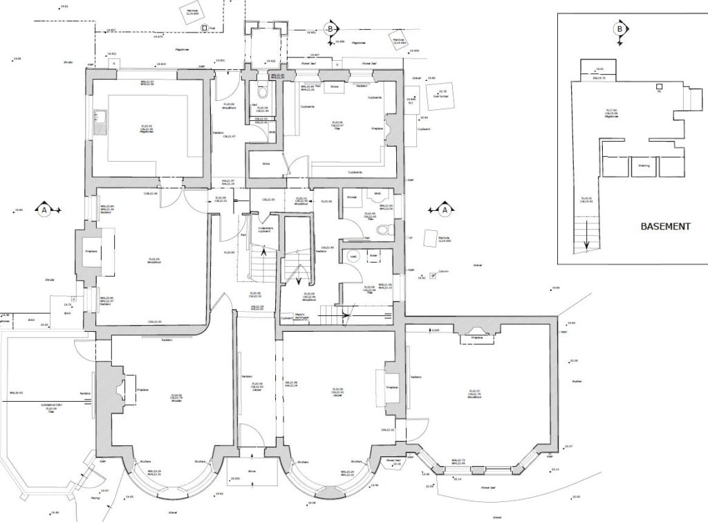
2d floor plans – we are specialists in this and have extensive experience in listed buildings, historic buildings etc where attention to detail is required.
If you require any further information or have a project in mind, please do not hesitate to get in touch…

