Aerial photography
MODEL <> INSPECT <> RECORD
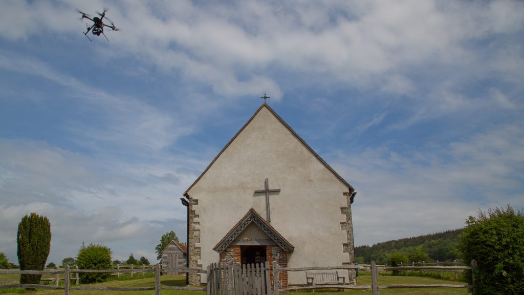
Here at WGP Digital we are fully equipped to fly commercial drone operations in a safe and professional manner. Our remote pilot Warren Peters has carried out numerous commercial aerial projects, he is also an enthusiastic photographer and uses his drone skills to capture stunning aerial images and video.
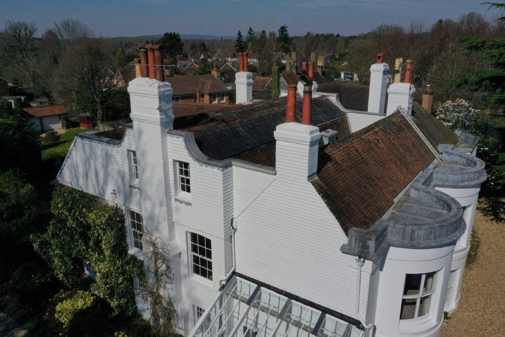
Commercial aerial operations include photogrammetry projects for Historic Royal Palaces at Hampton Court, multiple high-end properties within the restricted area of London and heritage buildings across the South of England. Plus numerous inspection projects where expertise is required in tight spaces.
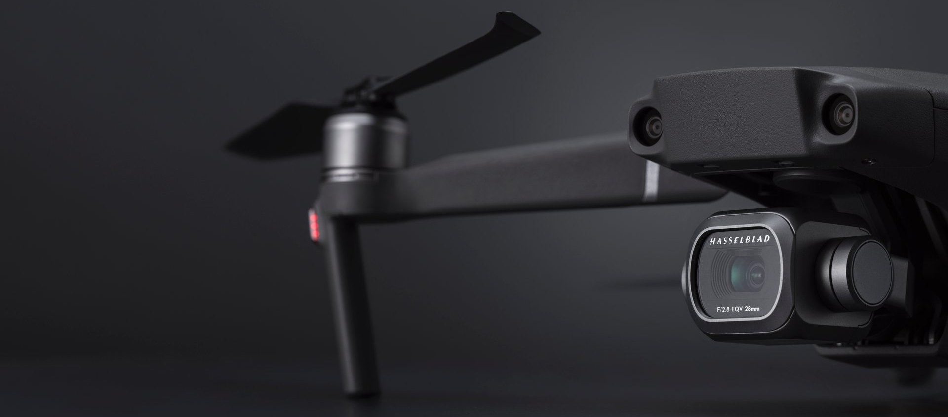
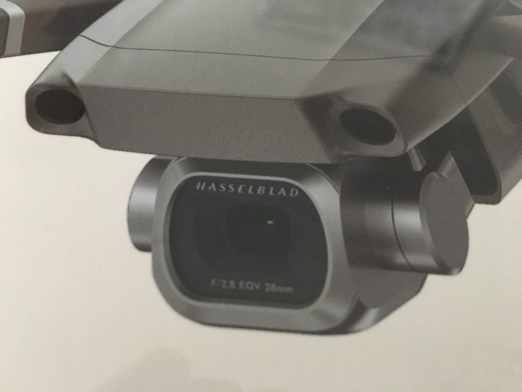
We have our own in-house drones with the ability to capture 12mp or 20mp raw images and 4K video, our range of drones enables us to fly in heavily congested/restricted areas without road closures, the most recent being the London West End. Images are captured in RAW format to enable processing for maximum quality.
For even higher quality images we can source much larger drones which can carry a DSLR, in particular the highly regarded Sony A7R which due to it’s low weight and high quality, is prefect for those projects which require the extra resolution.
** EXPERIENCED WITH FLYING IN RESTRICTED AREAS **
DRONE AERIAL PHOTOGRAPHY
Our drones and dslrs can be used for a wide range of projects including:
INSPECTION
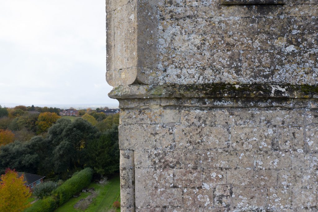
The drone can be used to inspect difficult to reach areas, including roofs, structures and even internally. We have extensive experience in this and get very close to the details. Images can be viewed on site or post processed.
PHOTOGRAMMETRY
Using just the drone or DSLR or a combination of the two, high resolution 3d meshed models can be created using Photogrammetry. The results from this are visually stunning and accurate. Can be applied to heritage projects, buildings or sites.
AERIAL SURVEY
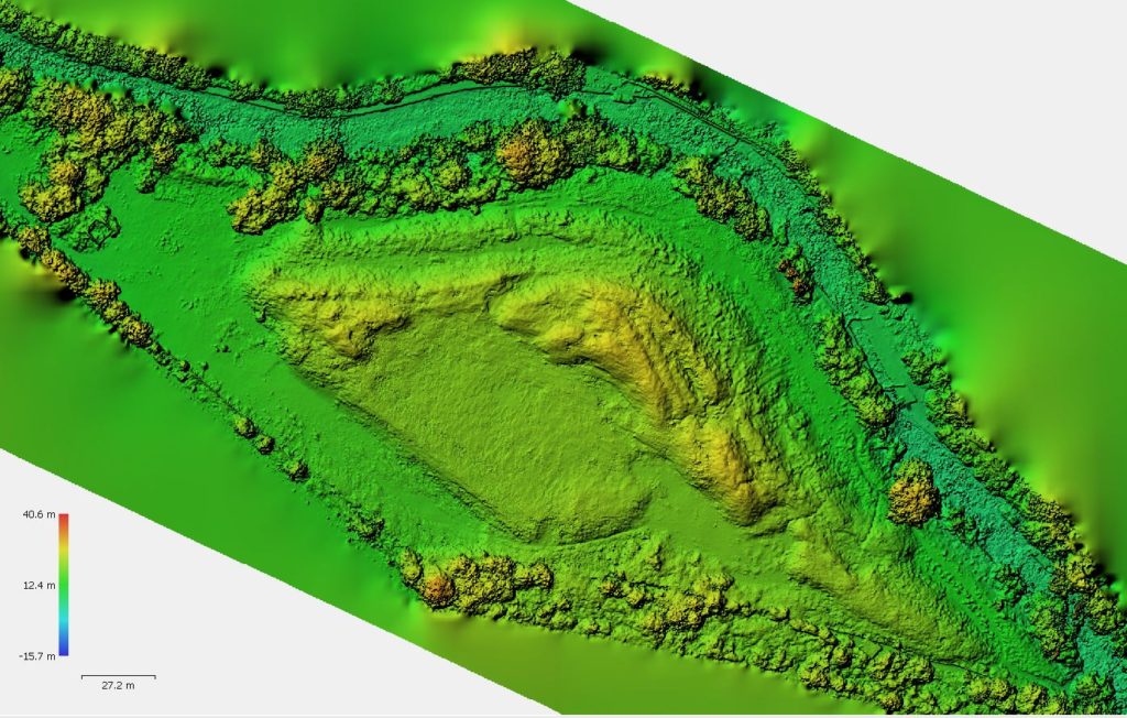
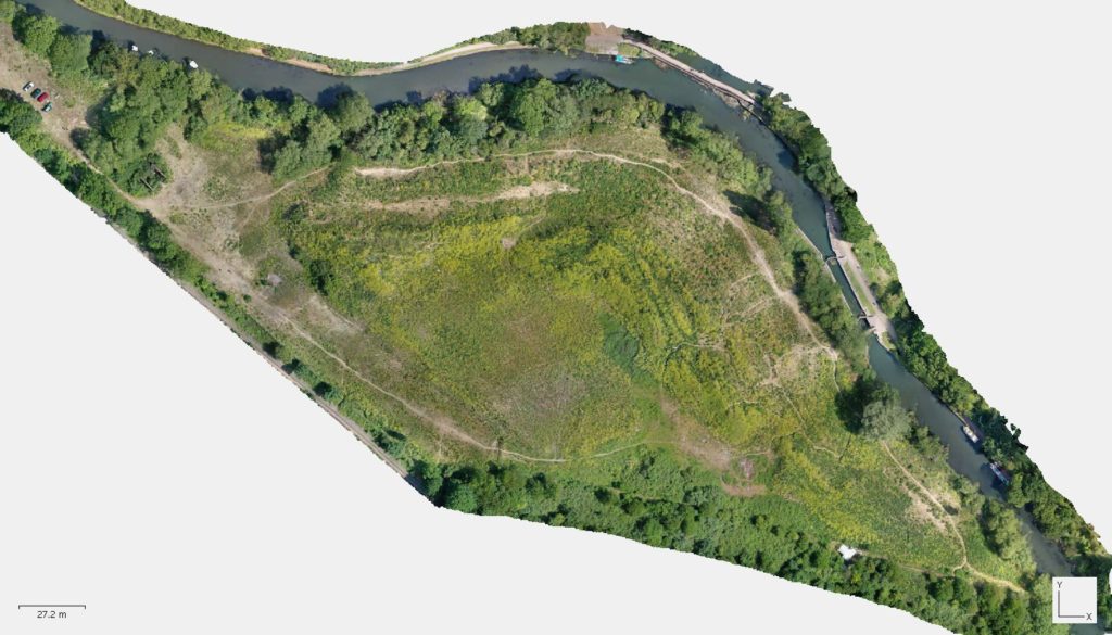
Combining aerial photography with survey grade control points can provide an effective solution to a wide range of sites. Typically a big advantage is the speed in which a large area can be covered as well as the site where access is difficult. Ground control points can be obtained using total station or GPS or a combination of the two. Wide range of 3d outputs and ortho imagery.
RECTIFIED PHOTOGRAPHY
Using the power of photography and survey control, high quality rectified/ortho-rectified images can be produced of various structures. Most commonly used on heritage and detailed projects this is a great way to record a high level of detail.
The images can be imported and embedded into most CAD packages.
3D
Using the data from photogrammetry, 3d models can be created of artefacts, structures, buildings, quarries and sites. combination of the two. We have a wide range of experience in several software packages including Autocad, Revit, 3DS Max, Rhino, SketchUp and coming soon – Vectorworks.
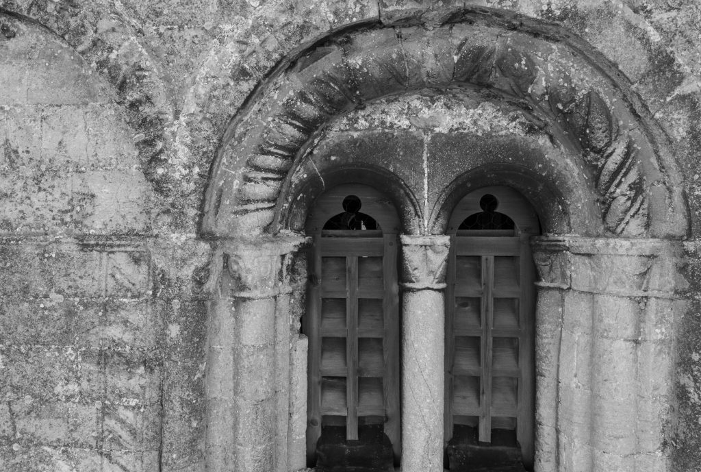
The models we have created so far are staggering and include a total stone by stone virtual rebuild of a minerva temple, detailed meshed model of a large church archway and numerous buildings/sites. Most of these are visible on my sketchfab account (please note a reduction in triangles for online viewing).
CGI & PROMOTIONAL
Photography and or 3D modelling for visualisations and film production.
Promotional aerial stills or 4k video capture.
Short film creation.
Insurance liability £1 million but can be upgraded to £10 million depending on project requirements. Commercial operations.
In-house drones/UAVs with extremely high quality 20 mp still camera and 4k video, access to ultra stable and high resolution cameras if required.
In action:
(click on the image for a larger view)

Case studies:
Below are examples of using a drone/uav, an aerial survey using GPS and drone imagery, an aerial inspection of a Church Tower and a 3d meshed model of a shipwreck, all are great examples of applying drone photography and surveying experience. Of course there are other uses and you can see more on my photogrammetry page which combines aerial imagery and/or ground or mast photography. The inspection and ship wreck case studies both feature a low resolution model view via sketchfab, alternatively you can see some more low res examples of 3d modelling on my sketchfab page…
Roof Inspections
Roof Inspections: For many years now we have carried out roof inspections using our drones,…
Aerial Survey
Aerial SurveySite in West London The brief: To produce a 3d ground terrain model of…
Aerial Inspection
Aerial Inspection The brief: To inspect and capture high resolution images of all faces of…
Ship Wreck
Photogrammetry I wanted to test out the 3D modelling capabilities just using the drone/UAV, it…
Creativity
Need something more creative, we can also help with promotional material in still or video form, please visit my photographic specific website – www.ispypixel.co.uk to see some examples, alternatively use the link below to get in touch.
If you require any further information or have a project in mind, please do not hesitate to get in touch…


